搜索结果: 1-15 共查到“Landsat”相关记录243条 . 查询时间(0.062 秒)

2024年10月25日,中国遥感卫星地面站数据共享门户发布2022-2024年Landsat 8卫星数据资源。这是自2022年9月新版数据共享门户上线以来的第二次重大数据更新。本次更新发布了中国区域的Landsat 8卫星影像,共计60,908景,其中包含2022年的25,363景和2023年至2024年3月的35,545景,新增数据总量达71.37TB。Landsat 8卫星搭载有两种主要传感器...
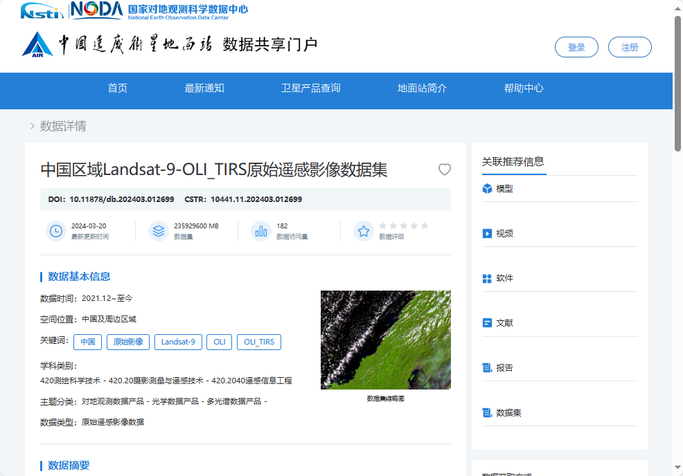
中国科学院空天院发布中国区域Landsat-9原始遥感影像数据集
遥感影像 数据 卫星
2024/9/15
2024年9月14日,中国科学院空天信息创新研究院所属中国遥感卫星地面站发布了2021年12月至2024年2月中国区域Landsat-9原始遥感影像数据集。该数据集免费共享64000景原始遥感影像,数据总量近55TB。

中国遥感卫星地面站发布中国区域Landsat-9原始遥感影像数据集(图)
遥感影像 数据红外辐射
2024/9/20
2024年9月13日,中国遥感卫星地面站发布2021年12月-2024年2月中国区域Landsat-9原始遥感影像数据集。免费共享64000景原始遥感影像,数据总量近55TB。
Landsat 9 卫星携带陆地成像仪 2(OLI-2)和热红外传感器 2(TIRS-2)。OLI-2 在可见光、近红外和短波红外波段捕获地球表面的观测数据,TIRS-2 测量从地球表面发出的热红外辐射或热量。此次共享的...
Democratic Republic of the Congo Tropical Forest Canopy Height and Aboveground Biomass Estimation with Landsat-8 Operational Land Imager (OLI) and Airborne LiDAR Data: The Effect of Seasonal Landsat Image Selection
Airborne LiDAR Landsat-8 tropical forest canopy height aboveground biomass Congo Basin Forest
2023/12/19
Inventories of tropical forest aboveground biomass (AGB) are often imprecise and sparse. Increasingly,?airborne?Light Detection And Ranging (LiDAR) and satellite optical wavelength sensor data are use...
Identification of Silvicultural Practices in Mediterranean Forests Integrating Landsat Time Series and a Single Coverage of ALS Data
BFAST clear-cutting cutting with seed-trees thinning Spain
2023/12/7
Understanding forest dynamics at the stand level is crucial for sustainable management. Landsat time series have been shown to be effective for identification of drastic changes, such as natural distu...
Semantic Segmentation and Analysis on Sensitive Parameters of Forest Fire Smoke Using Smoke-Unet and Landsat-8 Imagery
forest fire remote sensing smoke segmentation Smoke-Unet attention mechanism residual block Landsat-8 band sensibility
2023/12/5
Forest fire is a ubiquitous disaster which has a long-term impact on the local climate as well as the ecological balance and fire products based on remote sensing satellite data have developed rapidly...
Time Series Analysis of Landsat Data for Investigating the Relationship between Land Surface Temperature and Forest Changes in Paphos Forest, Cyprus
time series Landsat Mediterranean forest LST NDVI Kalman filter decomposition cross-correlation breakpoints Big Earth Observation Data
2023/12/1
This study aims to investigate how alternations of the land surface temperature (LST) affects the normalized difference vegetation index (NDVI) in Paphos forest, Cyprus, using Landsat-5 and Landsat-8 ...
A Planted Forest Mapping Method Based on Long-Term Change Trend Features Derived from Dense Landsat Time Series in an Ecological Restoration Region
planted forests long-term change trend features Landsat time series Google Earth Engine random forest NDVI
2023/12/1
Planted forests provide a variety of meaningful ecological functions and services, which is a major approach for ecological restoration, especially in arid areas. However, mapping planted forests with...
深入理解大熊猫栖息地植被变化过程及其驱动力, 是开展大熊猫栖息地保护和管理的重要基础。该研究利用1986- 2018年所有可用的Landsat TM/ETM/OLI影像构建长时间序列归一化植被指数(NDVI), 采用BFAST (Breaks For Additive Seasonal and Trend)方法实现大熊猫栖息地植被变化历史检测, 从植被累积突变、累积渐变和总变化3个指标揭示植被变化...

在国家自然科学基金项目资助下,中国科学院南京地理与湖泊研究所张运林研究组近日在Water Research上发表了题为“Remote sensing estimation of water clarity for various lakes in China”的研究论文。水体透明度表征水体清澈程度和透光能力,是描述水质好坏最直观的参数及水体富营养化评价的主要指标。水体透明度的大小直接决定着水体真光...
湖泊变化是气候变化的指示器.为探索利用单一短时间尺度的卫星水位数据源估算长时间序列的湖泊水量变化的可行性,本文利用短时间尺度(2016—2018年) Sentinel-3A合成孔径雷达高度计(SRAL)作为唯一卫星水位数据源,以藏北高原内陆湖泊当惹雍错为例,结合基于Landsat光学遥感数据提取的1988—2018年的湖泊面积,综合分析2016—2018年间的非结冰期遥感湖泊面积与遥感湖泊水位变化...
Landsat影像冰川提取的上下文感知语义分割网络法
深度学习 语义分割 冰川提取
2021/6/1
针对冰川提取存在云阴影、山体阴影、结冰湖泊等同物异谱、同谱异物导致难以有效区分的问题,设计了一种用于冰川提取的上下文感知深度学习语义分割网络。首先引入resnet50作为基准编码网络,以实现冰川特征提取的精度和效率平衡,其次针对现有语义分割网络存在上下文信息学习不足方面,设计了包括空洞卷积组块和最大池化组块的上下文信息提取层,以便更好地提取冰川的上下文信息。选择多景样本数据和验证数据的多源遥感影像...
A COMPARATIVE STUDY OF LAND SURFACE TEMPERATURE WITH DIFFERENT INDICES ON HETEROGENEOUS LAND COVER USING LANDSAT 8 DATA
LST Landsat 8 NDBI NDSI NDVI NDWI Land Cover
2019/2/27
The temperature rise in urban areas has become a major environmental concern. Hence, the study of Land surface temperature (LST) in urban areas is important to understand the behaviour of different la...
EXTRACTION OF BUILT-UP AREA BY COMBINING TEXTURAL FEATURES AND SPECTRAL INDICES FROM LANDSAT-8 MULTISPECTRAL IMAGE
Built-up Support Vector Machine Texture
2019/2/28
Remote sensing techniques provide efficient and cost-effective approach to monitor the expansion of built-up area, in comparison to other traditional approaches. For extracting built-up class, one of ...
DEVELOPMENT OF SCHEME FOR THE ATMOSPHERIC CORRECTION OF LANDSAT-8 OLI DATA
Atmospheric Correction Landsat-8 Surface reflectance Aerosol Water vapor Ozone
2019/2/28
In the present study, a physics based method called Scheme for Atmospheric Correction of Landsat-8 (SACLS8) is developed for the Operational Land Imager (OLI) sensor of Landsat-8. The Second Simulatio...

